Outer Banks septic guide
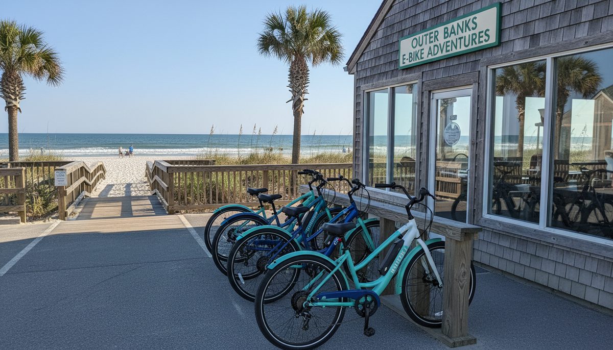
Where to ride an e-bike on the Outer Banks
The Outer Banks has no single trail network — it has a chain of mapped segments with wildly different exposure to traffic. How to choose a route by surface class rather than by mileage, from the Duck Trail to the Hwy 12 shoulder.
The useful mental model is not a trail system. It is a chain of separate segments, some of them fully separated paths and some of them the painted edge of a highway, strung end to end along a barrier island so they look continuous on a map and feel nothing alike from a saddle. Picking a route here means picking a surface class, and the difference between the best and worst segment on this coast is the difference between a family outing and a genuinely serious piece of road riding.
The details
The single most useful free document for this is the Outer Banks Visitors Bureau's bicycle route map, and its structure tells you what kind of place this is. The OBX Way bicycle routes segmented into ten sections running from Oregon Inlet up to the Town of Duck, and it deliberately distinguishes road shoulders from separated multi-use paths from sidepaths rather than colouring them all the same. That distinction is the entire point. The same map carries an unusually blunt warning: the Highway 12 shoulder south of ORV Ramp 4 sees vehicle speeds above 55 miles per hour and is intended for experienced, vigilant riders only. Take that at face value. It is not liability language, it is a description.
At the sheltered end of the spectrum sits the Duck Trail 6 miles — a multi-use path running the full length of the town on the ocean side of NC 12, entirely separated from the traffic lane. It is the most bike-native environment on this coast, and it comes with a rule worth knowing before you arrive: motorised vehicles including golf carts, mopeds and Segways are prohibited on it. A compliant pedal-assist e-bike is not in that category, but a 28-mph machine that the state currently treats as a moped is a different conversation, which is a good reason to know which one you have rented.
The central beaches are organised around the Wright Brothers Bikeway, Bike Route 1, 16 miles, a signed north–south route linking Kitty Hawk and Kill Devil Hills, running past the Wright Brothers National Memorial and marked with green Bike Route 1 signs from the historic Ocean Bay Lifesaving Station onward. Sixteen signed miles is a real ride and an easy one on assist; it is also long enough that the wind direction on the day matters more than your fitness does, which is exactly the problem a motor solves.
What we will not give you is a total. You will see confident claims about how many miles of path exist on the Outer Banks, and none of them survive contact with the sources: NCDOT, Dare County and each of the towns publish their paths separately with overlapping segments, and there is no official figure covering the whole chain. Our facts file leaves the number out rather than adding one more invented total to the pile. Plan by segment, not by aggregate.
Three practical filters, then. Riding with children or nervous adults: stay on the separated paths, which means Duck and the sidepath sections through the central towns. Riding for distance: the signed bikeway corridor, in the morning before the beach traffic builds. Riding south of Oregon Inlet toward Hatteras: understand first that you are on a highway shoulder with no alternative, because NC 12 is the only road down that island, and decide honestly whether that is the ride you came for.
Choose the segment before you choose the mileage. On a separated path a novice can do fifteen miles happily; on the open Hwy 12 shoulder, five is enough for anyone who is not comfortable being passed at highway speed.
On the record: OBX Way bicycle routes segmented into ten sections (Outer Banks Visitors Bureau — Outer Banks Bicycle Routes / OBX Way (outerbanks.org, retrieved 2026-09-17)) · Duck Trail 6 miles (Town of Duck — Duck Trail (townofduck.com, retrieved 2026-09-17)) · Wright Brothers Bikeway, Bike Route 1, 16 miles (Town of Kill Devil Hills / NCDOT — Outer Banks bicycle routes map, Route 1 Wright Brothers Bikeway (kdhnc.com, retrieved 2026-09-17))
Hand-verified 2026-09-17 against the primary sources named above; where a fact could not be verified it was left out, never guessed.